Northeast Branch Trail, part of the Anacostia River Trail System, parallels Kenilworth Avenue (MD-201). It starts in the community of North Brentwood, climbs past Edmonston and Riverdale, curves around the edge of historic College Park Airport, and terminates about 2.8 miles upstream just short of Lake Artemesia. The endpoint of Northeast Branch Trail is the start of both Paint Branch Trail and Indian Creek Trail.
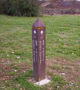
Northeast Branch Trail begins here, in Anacostia River Park where two major streams — Northwest Branch and Northeast Branch — come together to form the Anacostia River, a tributary of the Potomac. The wooden pillar shown here is thus the Zero Mile Marker for three trails: Northeast Branch, Northwest Branch, and the Anacostia River Trail. It is located near the intersection of Charles L. Armentrout Dr and Baltimore Ave.<
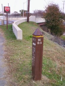
After passing under a railroad bridge, a spur line used by freight trains, Northeast Branch Trail proceeds along a flood control berm to milepost 0.5 at Decatur St.
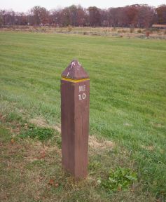
From Decatur the Northwest Branch Trail continues along the elevated berm through Riverside Drive Park. Flocks of birds often land along this stretch of trail.
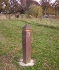
Here the trail proceeds north-northwest past Riverdale Rd and then swerves to dive beneath East-West Hwy. It emerges to skirt the ballfields of Riverdale Recreation Area.
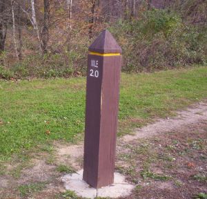
Milepost 2.0 of Northeast Branch Trail is located just south of River Road, as the path prepares to curve under yet another major street. The stream here has interesting rapids and rocky stretches.
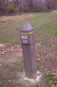
The last half-mile marker along Northwest Branch Trail, number 2.5, appears in Calvert Road Park a bit south of Paint Branch Pkwy. This pleasant woodsy section of the trail includes exercise equipment at intervals.
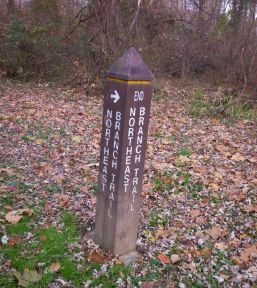
After passing beneath Paint Branch Pkwy the Northwest Branch Trail curls around the parking lot of the 94th Aero Squadron, a rather fancy restaurant. The pathway then hooks around the southeast end of the main runway at College Park Airport before reaching its end at the junction of Indian Creek Trail and Paint Branch Trail, just south of Lake Artemesia. —
(see DC Metro Area Trails: GPS Waypoints; cf. RockCreekTrail (2002-05-31), AnacostiaTributaries (2003-01-28), GoogleMapExperiments (2005-09-11), Rock Creek Trail Miles 0 to 4 (2005-09-26), Rock Creek Trail Miles 5 to 9 (2006-01-16), Rock Creek Trail Miles 10 to 14 (2006-07-10), Paint Branch Trail (2008-01-12), ...)
(correlates: Paint Branch Trail, 2008-09-08 - Anacostia Tributaries and Lake Artemesia, EasternYosemiteMountains, ...)